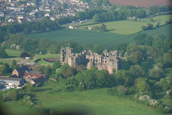
Neath Port Talbot, Merthyr Tydfil and Monmouthshire LANDMAP studies

We coordinated three separate LANDMAP studies for council areas using the method of consistent landscape assessment for Wales including undertaking the visual and sensory and coordinating a team to produce the biodiversity, earth sciences, history and culture aspects and public perception studies.
We also produced secondary outputs such as landscape character assessments for NPT (see LANDMAP document under Policy EN2) and Merthyr Tydfil and Special Landscape Areas for Monmouthshire and Merthyr.
Clients: Neath Port Talbot and Merthyr Tydfil Borough Councils, Monmouthshire County Council, Countryside Council for Wales and Groundwork Wales
