Landscape sensitivity and capacity
We are leading, award-winning specialists in landscape sensitivity for studies for a range of developments in England and Wales. We have assisted Natural England in the preparation of their latest guidance, presenting at workshops and participating in the working group. Where numerical targets for development are known we also consider if capacity studies are appropriate.
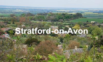
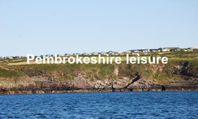
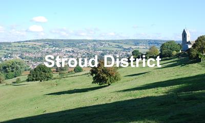
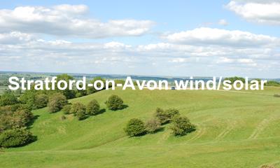
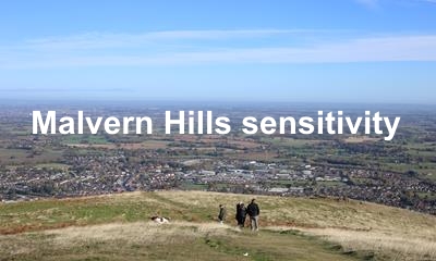
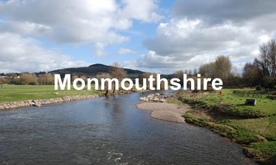
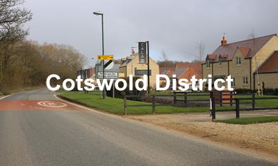
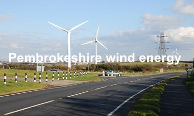
Each study is tailored to clients’ needs and budgets. Their primary purpose is usually to inform the allocation of land for housing and commercial development in Local Plans and Local Development Plans for England and Wales respectively. We have carried out around 25 of these studies. Other studies underpin renewable energy policies. We have carried out, or been involved with, around 20 of this type of study. We also assess sensitivity to leisure developments- such as caravans, camping and chalet sites.
See more below
Projects
Our approach
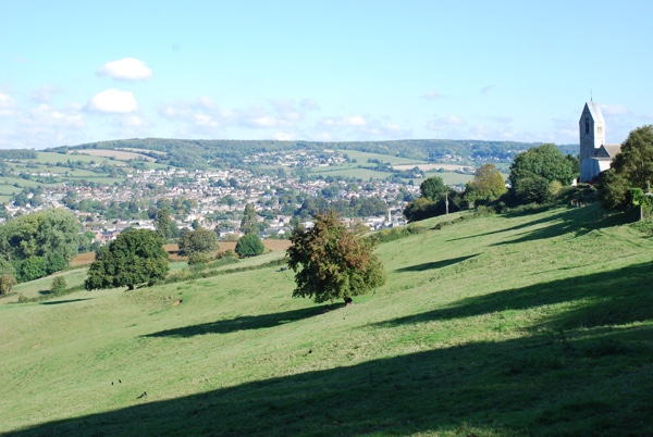
An early landscape sensitivity study of ours in the Cotswolds won the Landscape Institute landscape planning award in 2000 and we have won more awards for sensitivity studies subsequently.
Our rigorous study methods have been developed over many years and and are now in line with Natural England’s Approach to landscape sensitivity to ensure that they provide robust and up to date findings. We take into account not only inherent landscape character but also the relationship with adjacent areas such as settlement edges and patterns, and visual receptors.
Studies have considered different scales and types of housing, employment, commercial and leisure uses, renewable energy such as wind and solar, and transmission corridors.
We happily work with the full variety of underpinning landscape baseline studies including landscape character types and areas, land description units, and LANDMAP in Wales. We also can tackle the seascape baseline. Our team is probably unique in having the expertise in utilising the underpinning assessments fully having carried out all these types of assessment ourselves.
Our assessments are complemented, where appropriate, by high quality photomontages, intervisibility analyses and other GIS tools to inform and demonstrate effects.